Leisure & tourism
Everyday
Specials for Parkwood
Shopping
Thurloe Way
The Thurloe Way is located in the south of Canning Vale with the zip code of 6155. It is about 356 meters long.
Transport
| High Road before Belvedaire Way | 5km | |
| High Road after Belvedaire Way | 5km | |
| High Road after Metcalfe Road | 5km | |
| Metcalfe Road after High Road | 5km | |
| Cockburn Central | 5km |
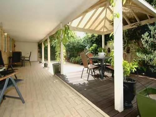
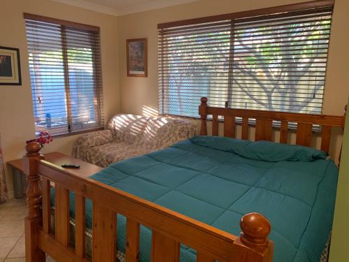
Hotels & Apartments
We found the following hotels and apartments in Thurloe Way for you:
Close by ...
Nearby we found in the most important categories for you: